(Wanted to post this here as it would be nice in the long-term to be able to get enough info from the forums here, as it was with Bogley/Canyon Collective in the past, and not have to battle past ragebait and AI slop on Facebook to get to canyon beta…)
A group of 5 of us ran (some of) Lower Echo Canyon in June.
Ropewiki beta is out of date. Lower Echo is NOT closed - but the NPS did confirm we were only the second group they know of who’d attempted it in 2026. The guidance we received over email was that it was open provided ropes were re-ascended all the way back to Stave Springs.
What this left unclear was how much of Ryan’s old beta would still be applicable given the closure of the trail to Weeping Rock - Ryan’s route envisaged walking up from the Weeping Rock bus stop, essentially setting up 2 ropes partway down the canyon (to re-ascend out at around the mid-point of the canyon), continuing to hike back up to the start of the canyon, doing the first 7 raps (and pulling ropes), reaching the “exit” ropes, continuing down the canyon but leaving those ropes in place for re-ascending, turning around at the (closed) final rappel and reascending back up to the exit ropes - and then going back up those 2 ropes, rather than 7 further individual reascents (all the way to the start). What we didn’t know was whether the NPS would let us go that far down the trail to set that up - or whether we’d essentially leave every single rope in place, to reascend right back to the very start instead.
I tried to set this out in a diagram [for our group’s use, obviously do your own research blah blah. Its borrowed a few images from Ryan’s writeup and/or Tom’s Canyoneering site as I obvs made this diagram before we did the canyon…]. Locations of a lot of the raps themselves won’t be all that accurate but its to try and show the start, the closed final rap, and the “exit” ropes if one opts to set it up that way.
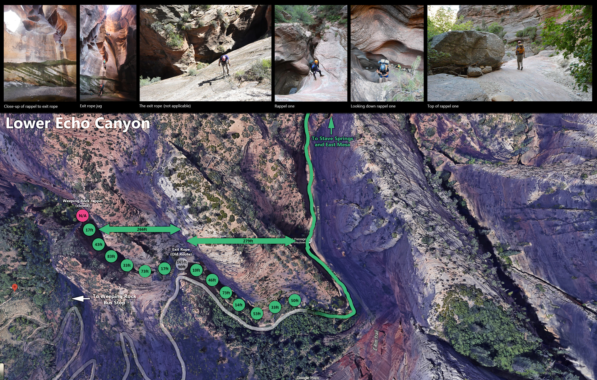
Rap heights are based on Ryan’s beta, I haven’t amended those.
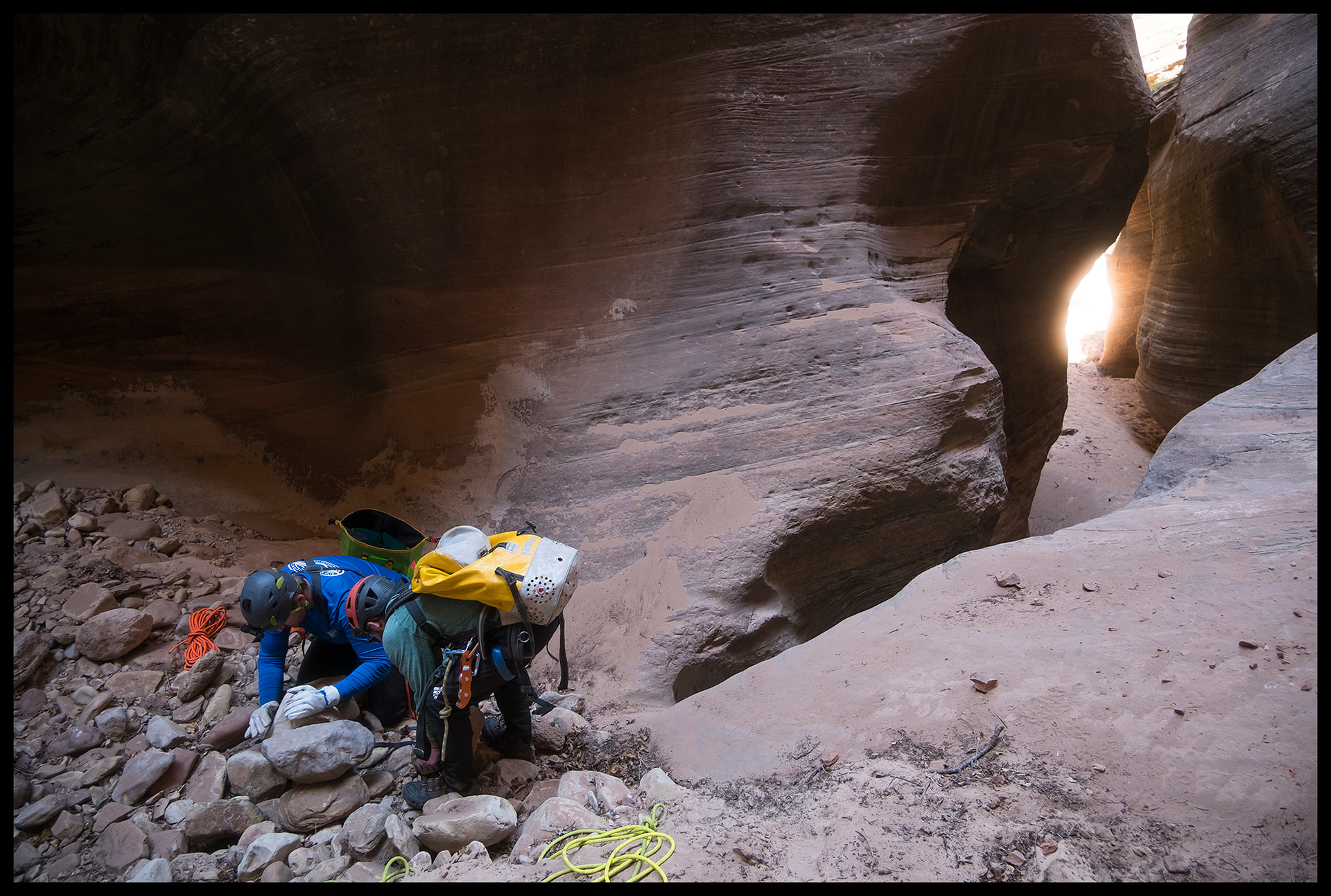
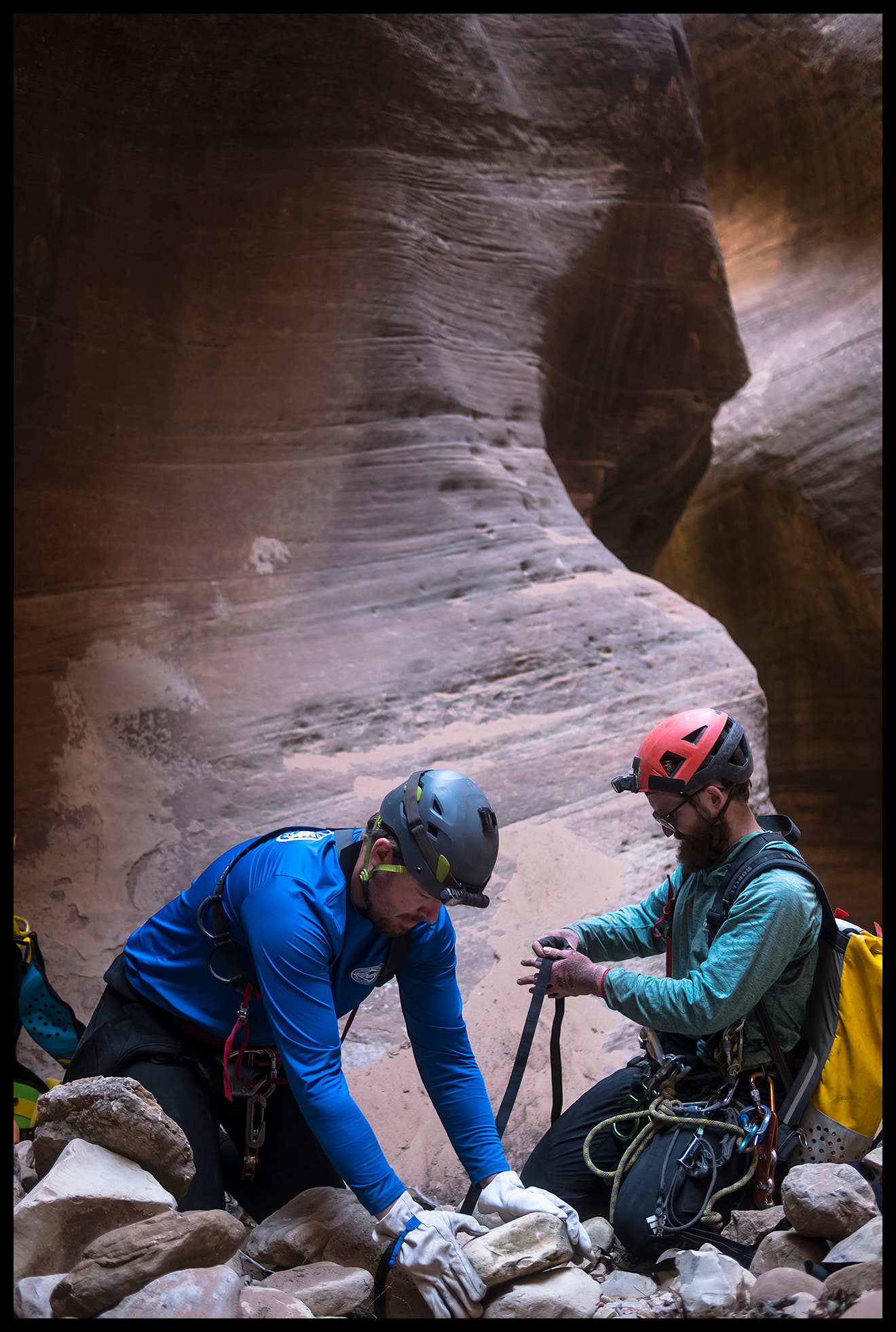
The NPS confirmed we could go down as far as that halfway point, set up the exit ropes, etc. In the end, we opted not to - so that meant every single rappel from the very start, we would leave the rope in place to reascend.
We started at 8am. Obviously you now have to start from way out to the east - the hike from Stave Springs to the first rap, and then putting on wetsuits, etc., took us around 3 hours. We budgeted around 4 hours in the canyon itself - to cover both rappelling and re-ascending.
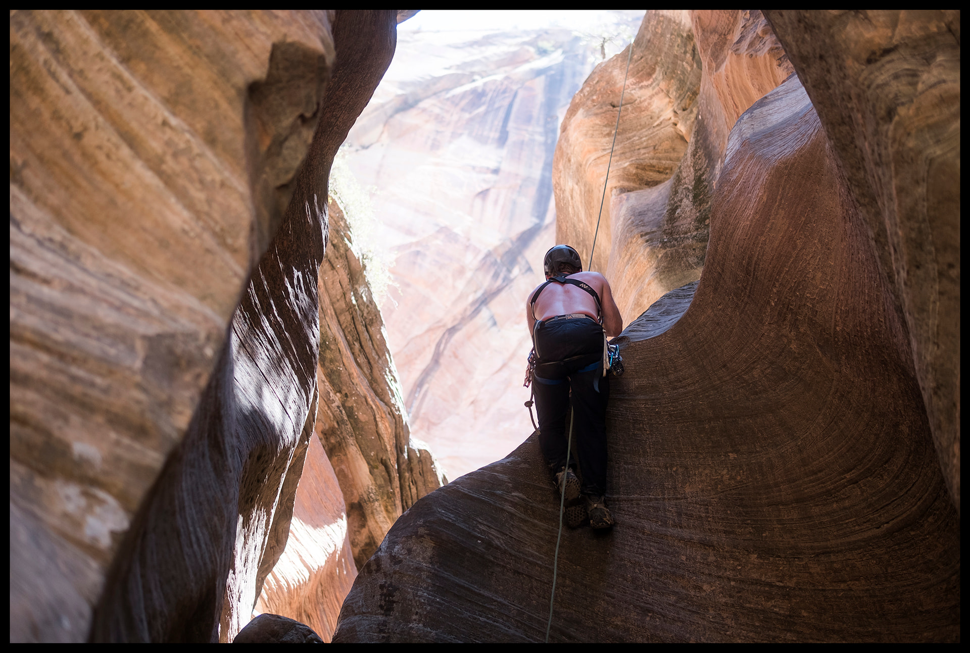
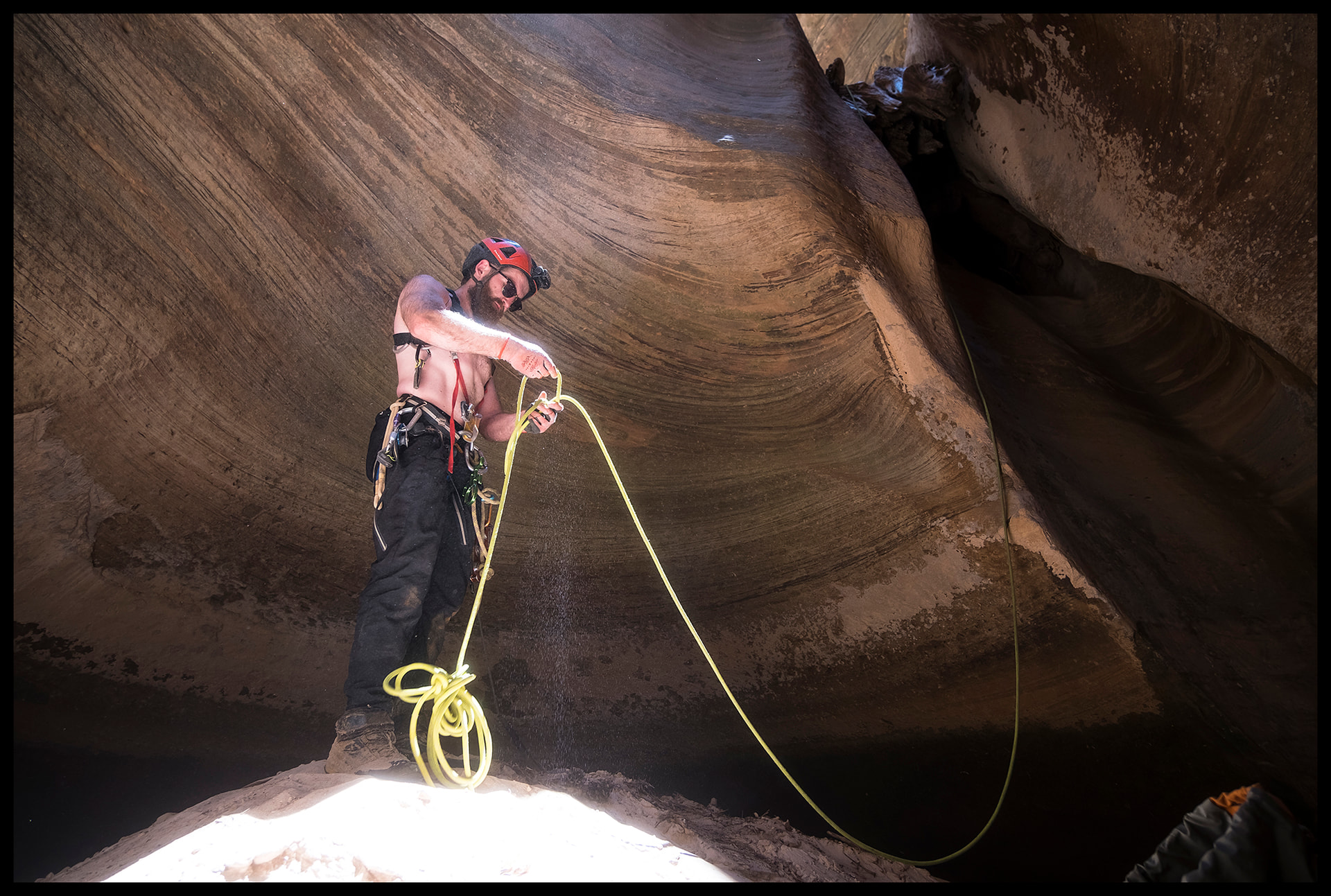
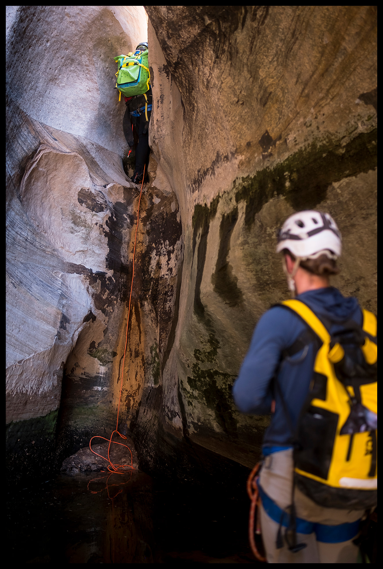
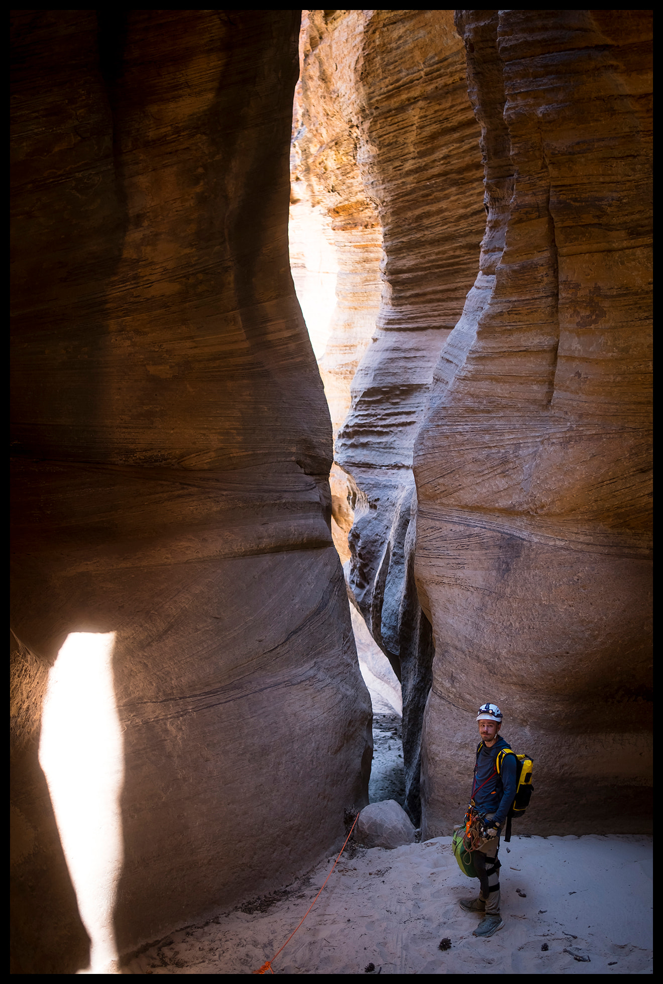
It’s obviously a lot longer of a day now and we didn’t get that far in to be honest. It was around 100 degrees that day, and there was virtually no moisture whatsoever in the canyon (we got as far as an ankle deep pool), wetsuits were totally unnecessary. A few notes and some screenshots from videos to help:
-Rap 1 - the option of immediately DCR or, a little further off some bolts, DCL. If you go DCL then the rappel is a little longer.
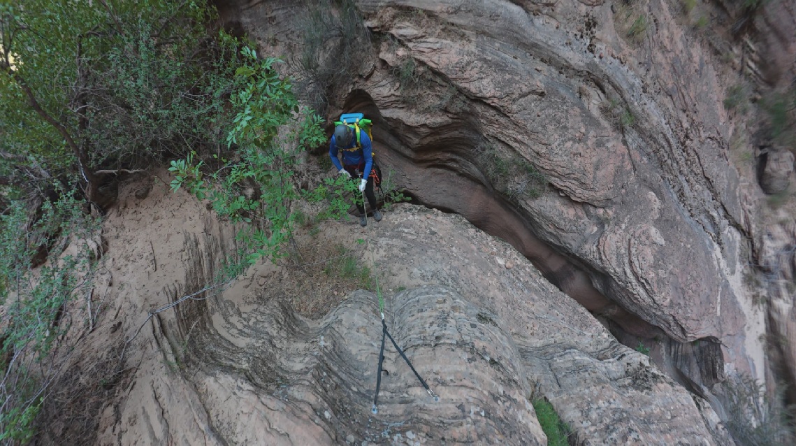
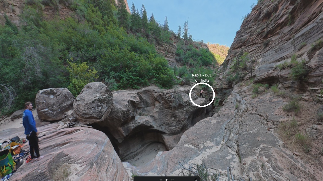
-Rap 2 - off a firmly wedged log.
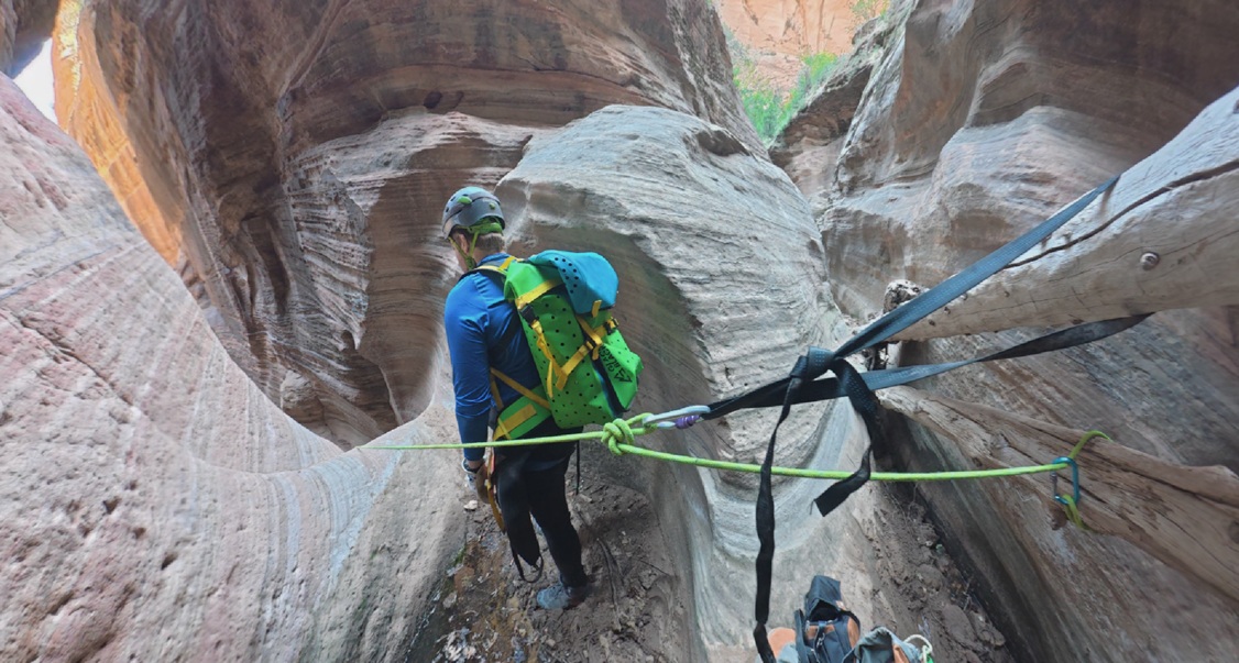
-Rap 3 - this is noted as a downclimb in Ryan’s beta, but that was based on him not having to re-ascend it. As we were re-ascending (and the last 10ft looked steeper), we set up a cairn anchor here.
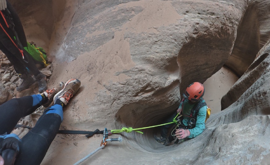
-Rap 4 - another cairn anchor.
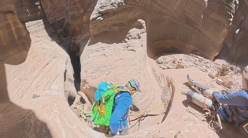
-Raps 5 (the second stage of rap 4 really) and 6, we just combined various rope, given that we weren’t going to be pulling it.
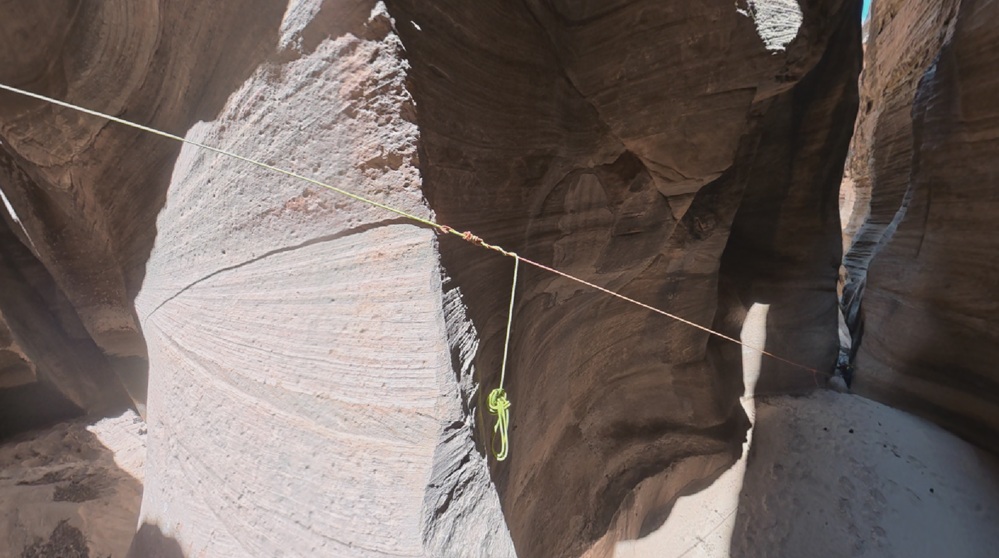
At this point, we had now reached the top of what Ryan calls Rap 5 (although for us, with the downclimb, two stage rappel, etc., this already meant we’d down 6 rappels and would be reascending 6 ropes). We opted not to push further at this point given the heat, uncertainty over how long the reascending might take, etc.
In the end, de-wetsuiting and then hiking back to Stave Springs in the afternoon/evening heat took us over 4 hours. It was a long day and we honestly saw a fraction of the canyon - but in those conditions (certainly less water than in Ryan’s photos) it didn’t really feel worth pushing much further either. I’m sure its a great canyon outside of the summer and I’d want to try it again then.
Finally, a few highlights: